
Our Impact
Data and stories from our humanitarian and resilience programming across Northeast Nigeria.
Impact Dashboard
Data-backed results from field delivery
CEER combines quantitative programme data with community feedback to keep delivery accountable and adaptive across the BAY states.
+
LGAs with CEER experience
+
Farmer groups supported (FAO partnership)
+
Households reached (flood preparedness)
%
Staff from Northeast Nigeria
Where CEER works
CEER implements across Borno, Yobe, and Adamawa. When an interactive map asset is available it will highlight active LGAs; until then, browse the list and gallery for programme visuals.
- Michika (Adamawa)
- Song (Adamawa)
- Gombi (Adamawa)
- Demsa (Adamawa)
- Yola North (Adamawa)
- Yola South (Adamawa)
- Mubi North (Adamawa)
- Mubi South (Adamawa)
- Mayo Belwa (Adamawa)
- Madigali (Adamawa)
- Numan (Adamawa)
- Lamurde (Adamawa)
- Ganye (Adamawa)
- Guyuk (Adamawa)
- Girei (Adamawa)
- Ngala (Borno)
- Geidam (Borno)
- Mafa (Borno)
- Chibok (Borno)
- Damboa (Borno)
- Konduga (Borno)
- Bama (Borno)
- Gwoza (Borno)
- Karasuwa (Yobe)
- Gulani (Yobe)
- Yunusari (Yobe)
- Bursari (Yobe)
- Nangere (Yobe)
- Potiskum (Yobe)
- Fika (Yobe)
- Fune (Yobe)
- Damaturu (Yobe)
- Tarmuwa (Yobe)
- Gujiba (Yobe)
- Jakusko (Yobe)
- Bade (Yobe)

Voices from the Community
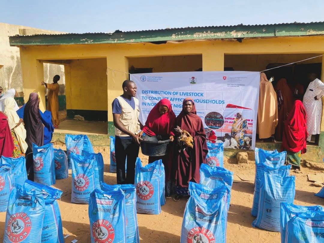
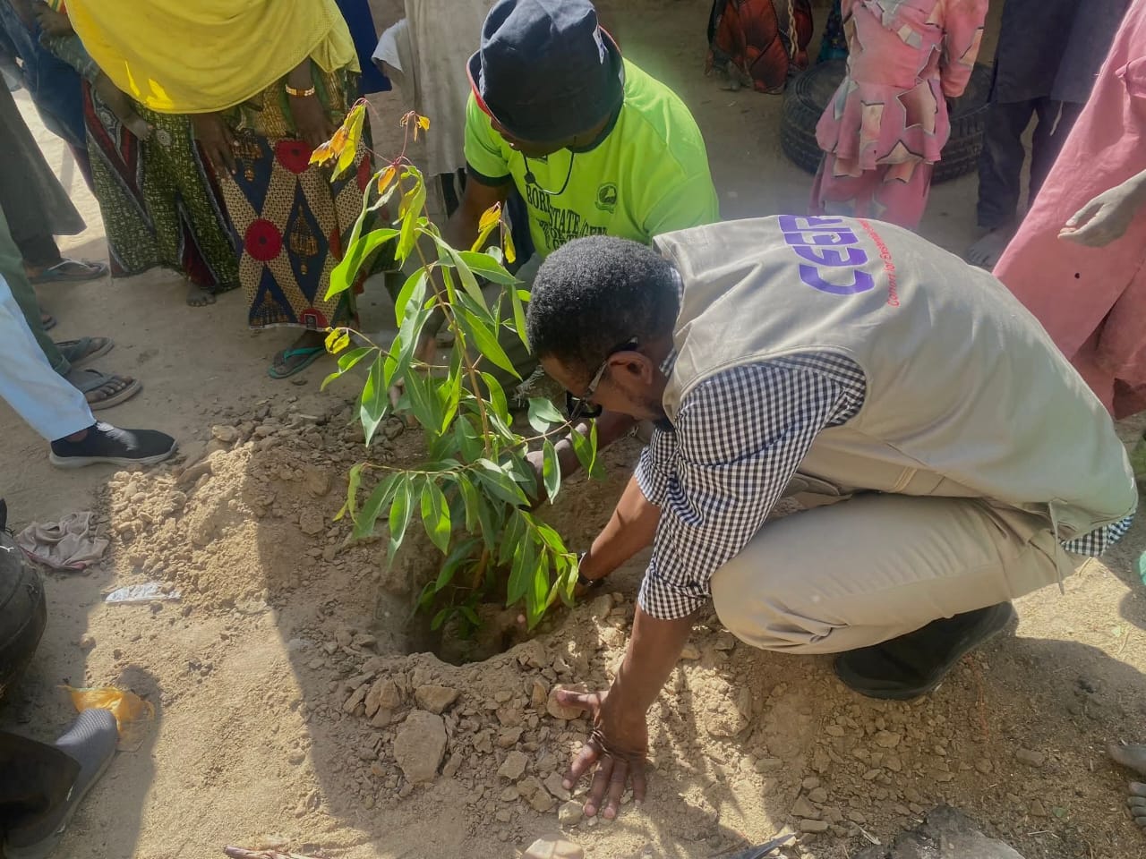
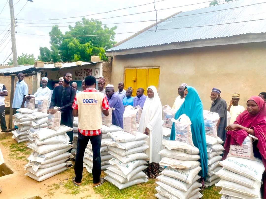
Photo Gallery
View full gallery →